Antarctic Geography
 The geography of Antarctica can be pretty confusing at times. The concepts of North, South, East and West get turned on their head as soon as you approach the poles. So how should you plot Antarctica? Which way is up?
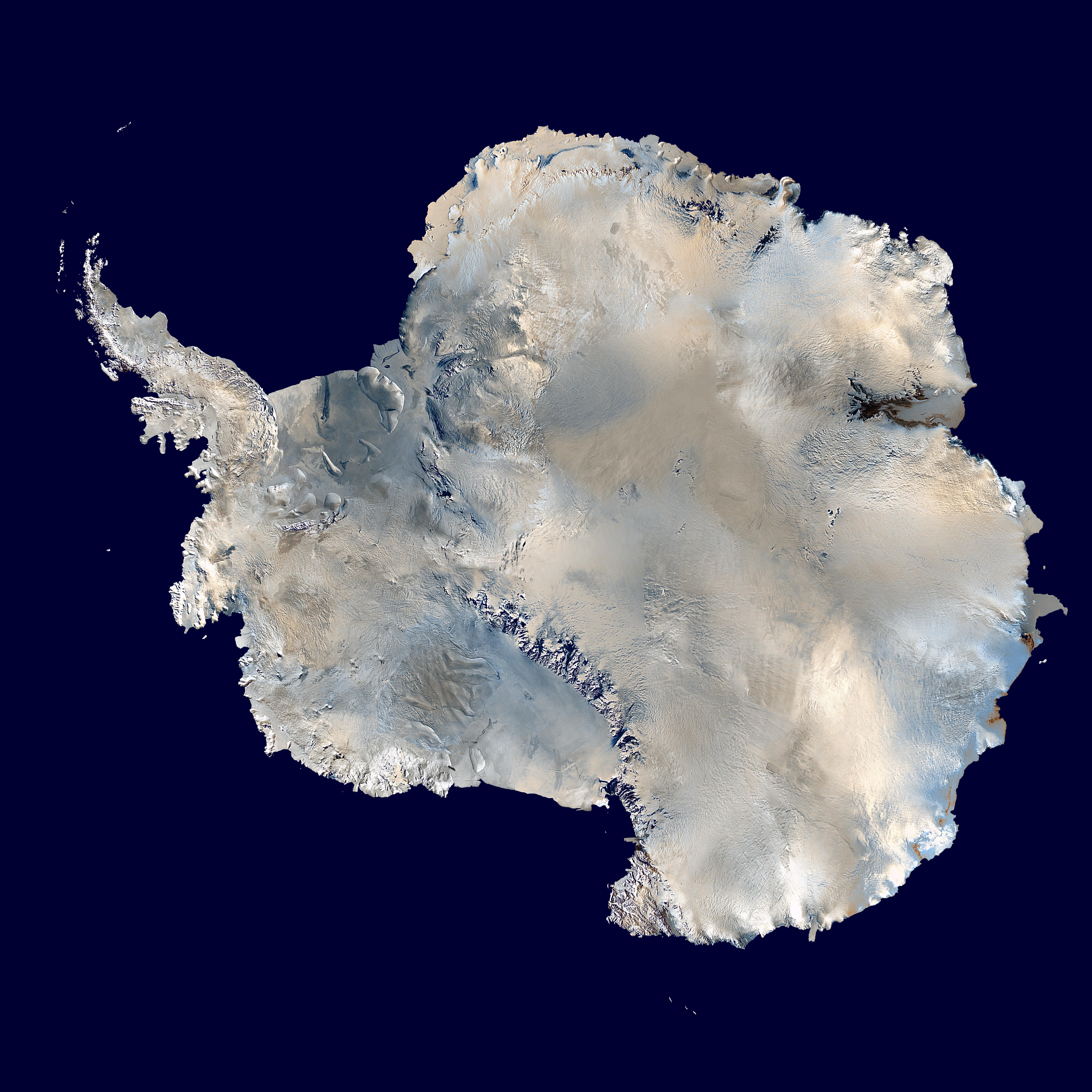
The generally accepted convention is to plot the Greenwich meridian going from top to bottom of the page (though actually it only goes to the center of the page, because from there on the meridian is 180 degrees away from the Greenwich meridan). Then all regions to the right of that line are referred to as East Antarctica (they are to the East of the prime meridian), and all regions to the left are referred to as West Antarctica (they are to the West of the prime meridian).
Antarctica itself is rather cooperative on this point: the East and West halves of the continent are very different, and they are separated by a large mountain range, the Transantarctic Mountains. The Western half is low-lying and convered by a thin layer of ice; it contains the easily recognizable Antarctic Peninsula, and is slowly increasing in area over time (it contains what Earth scientists call a rift system). The Eastern half has a high elevation (approx 3000m above sea level), is entirely covered by ice (3km thick - most of the high elevation is due to ice), and is geologically very old (geologists refer to regions like this as cratons).
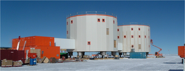
The seismological experiments we are planning will take place in East Antarctica, high up on the ice Plateau.
Good resources for Antarctic geography are:
- the Atlas of the Cryosphere from the National Snow and Ice Data Center
- the new Polar Layers in Google Earth.


No comments:
Post a Comment